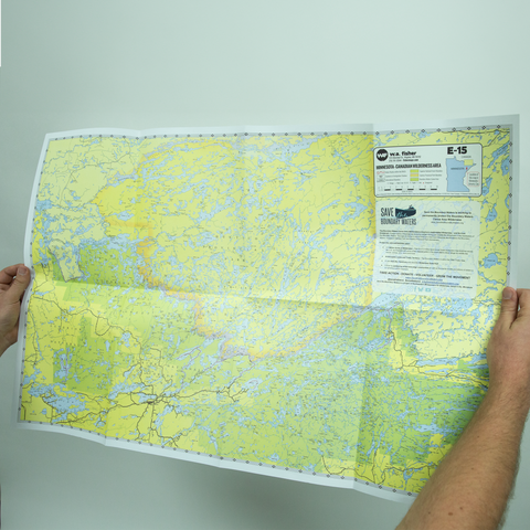
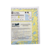
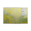
Boundary Waters Overview Map E15
Sale Price:
$9.99
$15.00 Regular Price
WA Fisher Maps - E15 - BWCA - A comprehensive map of the area within and surrounding the Boundary Waters Canoe Area, from Crane Lake on the West to Gunflint Lake on the East. Also designated are the Superior National Forest, Canada’s Quetico Provincial Park, B.W.C.A., and international boundaries.
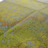
Dimensions: 22″ x 34″
Printed on heavy duty card stock
Made in Minnesota
Please note: product images are digital mockups. Actual products may vary in color, brand, style and/or production materials due to reasons beyond our control.
Fulfilled by Ambient Inks and shipped using compostable and/or recyclable packaging. To learn more about our sustainability standards and practices, please visit this link.